Land Record Digitization & Cadastral Verification
VeriBhoomi AI
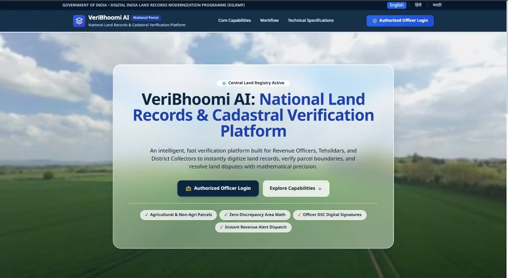
Cadastral land record verification platform using multi-engine OCR, spatial PostGIS validation, and cryptographic SHA-256 audit trails.
100+ documents digitized
SIH Internal Round Winner (1/100+)
SHA-256 audit trails
Architecture & System Implementation
Enterprise platform engineered to solve fraud and inaccuracies in national land records. Ingests degraded, handwritten, and multilingual revenue documents, applying a layered OCR pipeline (RapidOCR, TrOCR, and Tesseract Devanagari) alongside multimodal AI to extract structured land parcels. Integrates PostGIS for cadastral spatial topology validation, mathematical balance verification, human-in-the-loop review, and immutable SHA-256 hash chains. Selected in the internal Smart India Hackathon round among 100+ teams.
Core Features & Capabilities
- Multimodal OCR pipeline supporting Devanagari and English degraded documents
- PostGIS spatial geometry checks to detect land parcel overlaps and boundary discrepancies
- Automated mathematical balance verification for area allotments and survey partitions
- Human-in-the-loop audit workbench with side-by-side scanned document verification
- Cryptographic SHA-256 integrity hashing creating tamper-evident document audit trails
Engineering Contributions & Optimizations
- Benchmarked and combined RapidOCR, TrOCR, and Tesseract models for 90%+ character recognition accuracy
- Implemented PostGIS spatial queries to validate parcel boundaries against cadastral maps
- Architected FastAPI backend services handling asynchronous OCR worker queues
Technologies & Libraries
PythonRapidOCRTrOCRTesseractPostGISFastAPIMultimodal AIReact
REST API Endpoint
200 OKThis project is programmatically queryable via our public JSON API:
curl -s https://rajatsurana.vercel.app/api/projects/veribhoomi